Bruneau River
Location-
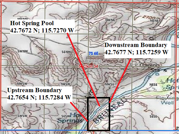
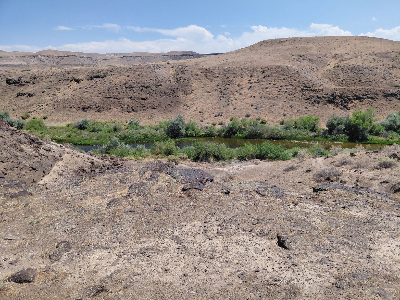
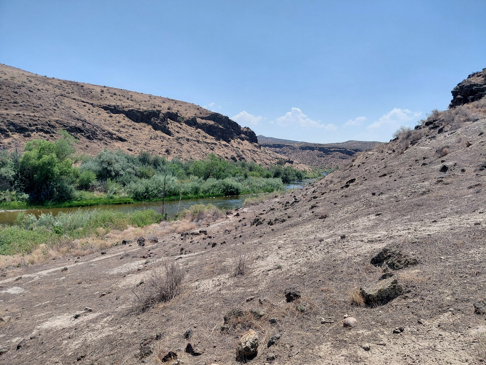
- Bruneau River, Owyhee County ID.
- SE1/4 of Section 34 Township 7 South, Range 6 East.
- Downstream Boundary: 42.7677 N; 115.7259 W
- Upstream Boundary: 42.7654 N; 115.7284 W
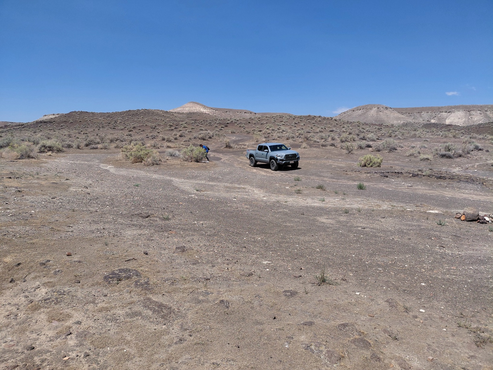
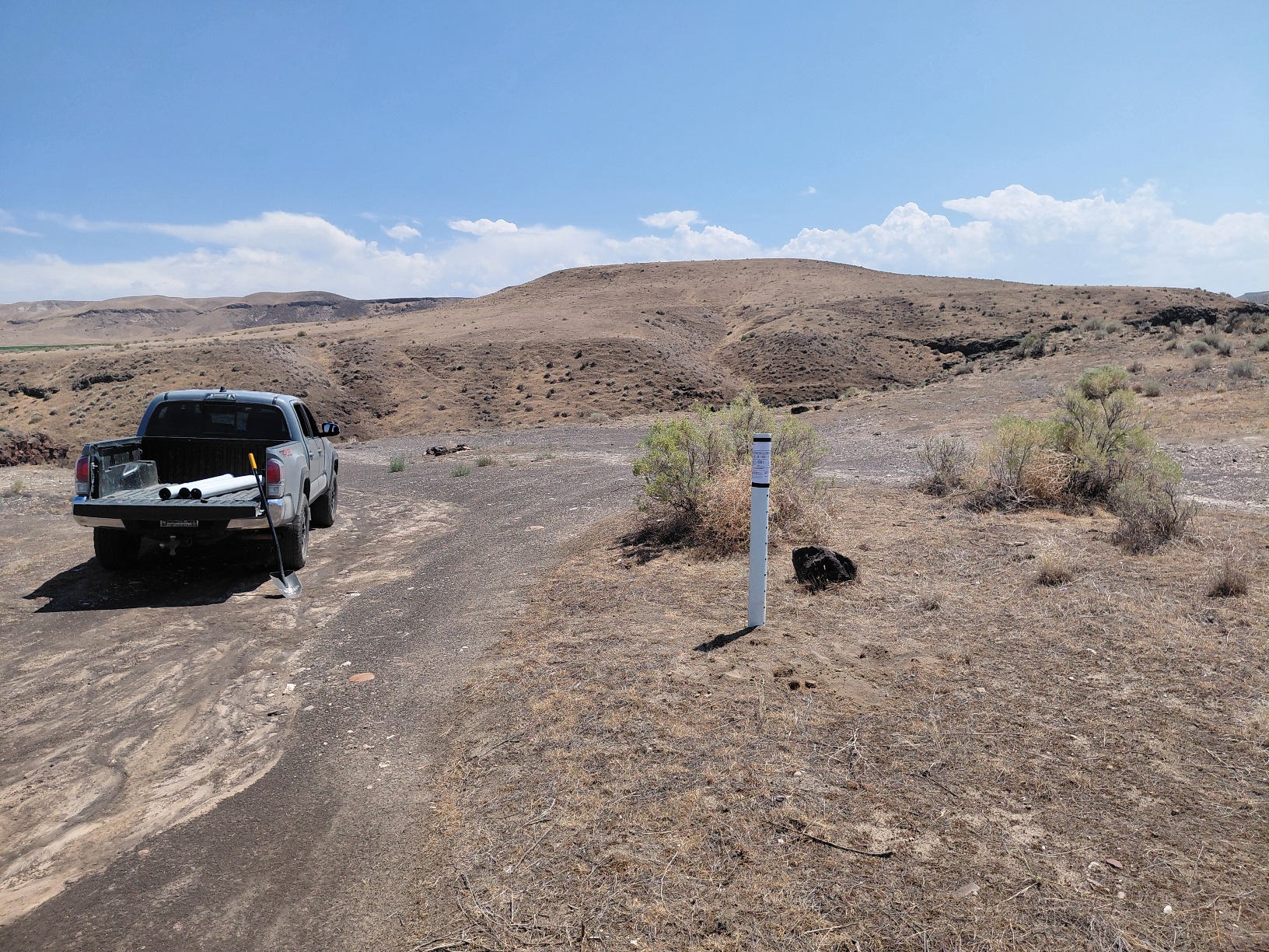
- For directions via google maps to the claim CLICK HERE Google maps says the roads ends before it actually does. So once the google says you made it to your destination just continue driving about .25 miles until you reach a large parking space with a claim post in the middle. (See photos below).
Acres- 20 Acres
Legal to Dredge?- Yes, But please do your own legal research.
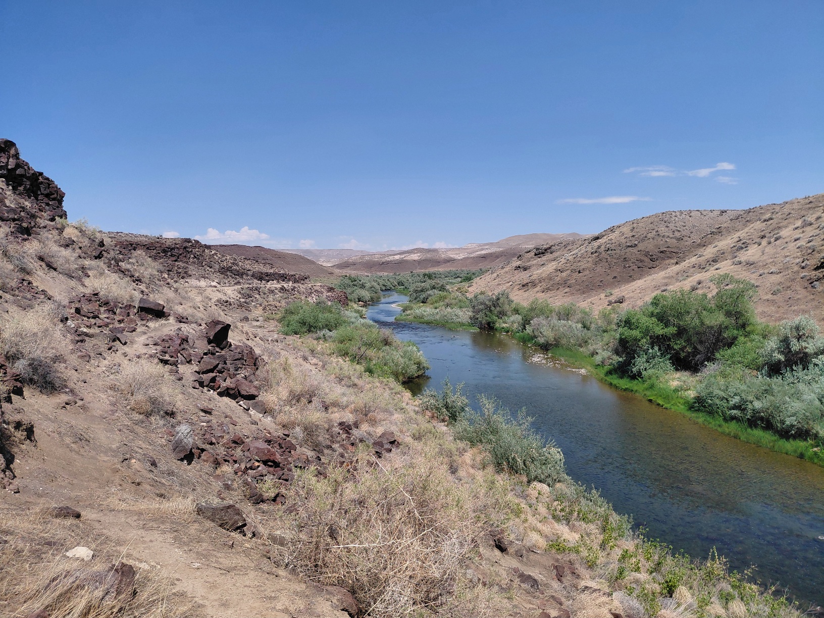
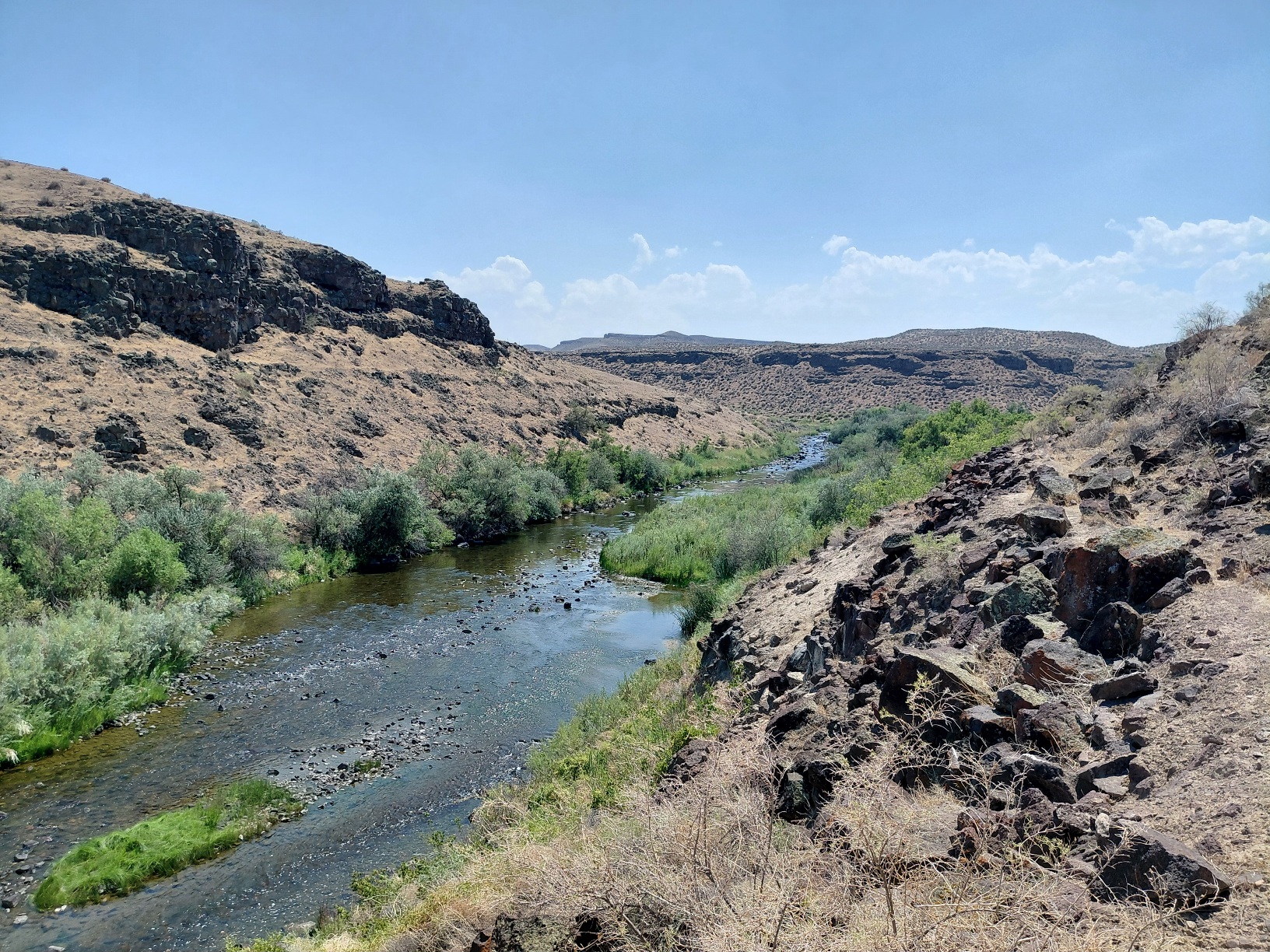
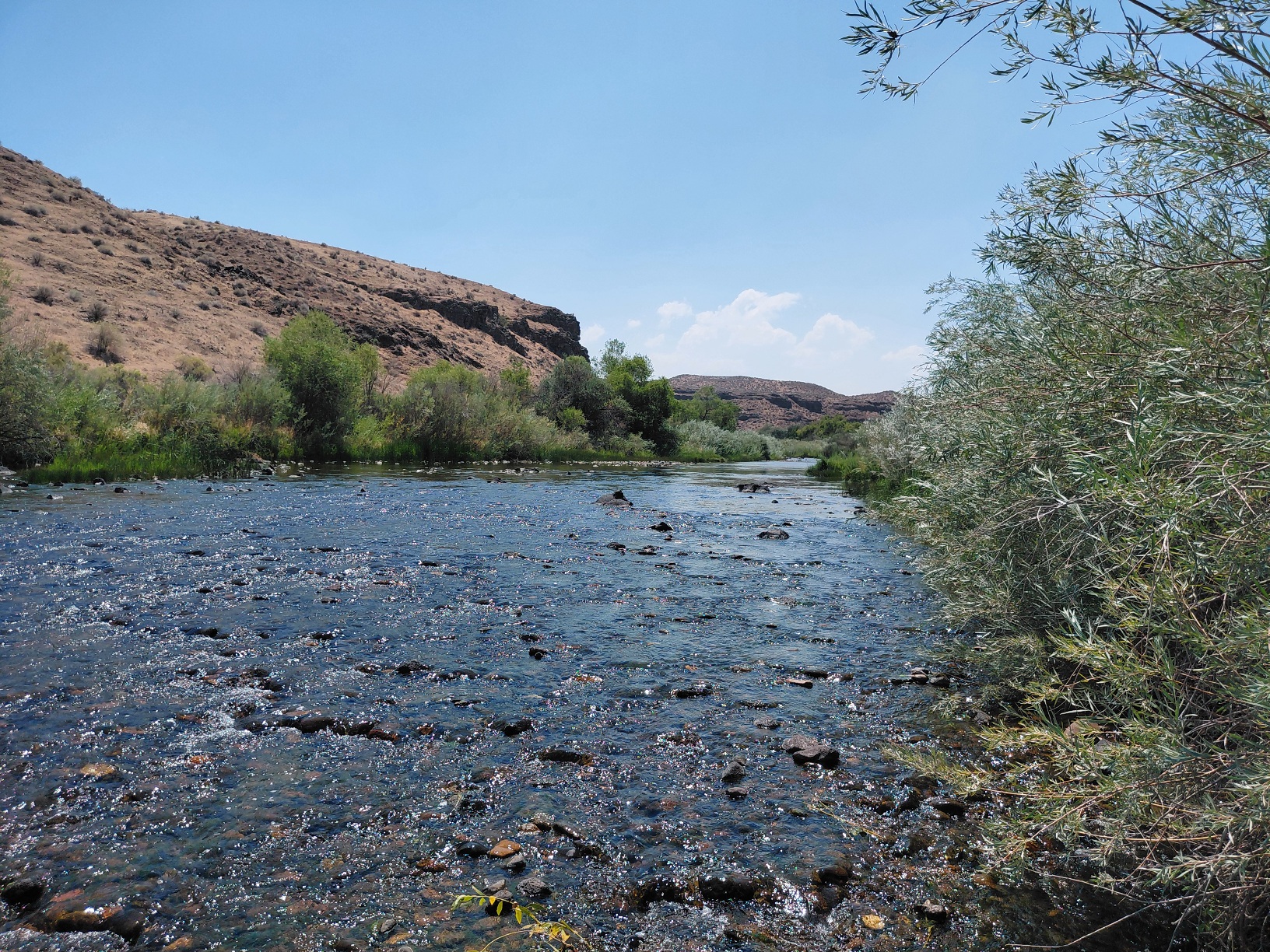
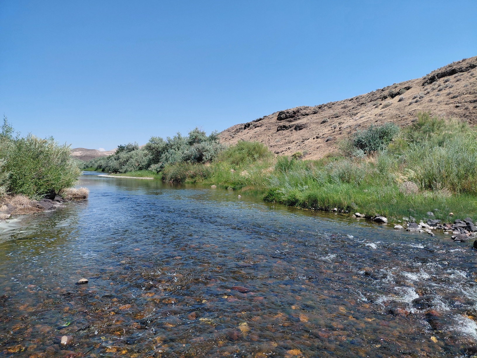
Creek Frontage- About 1200′
Water- Strong year around water.
Camping- Plenty of room for camping, the road may be to rough to haul a camper to the claim.
Access- The last .5 miles is a rough 4×4 road.
How is the Gold?- We found consistent fine gold on the surface. We averaged about 2-3 colors per pan. We have not sampled deep yet.
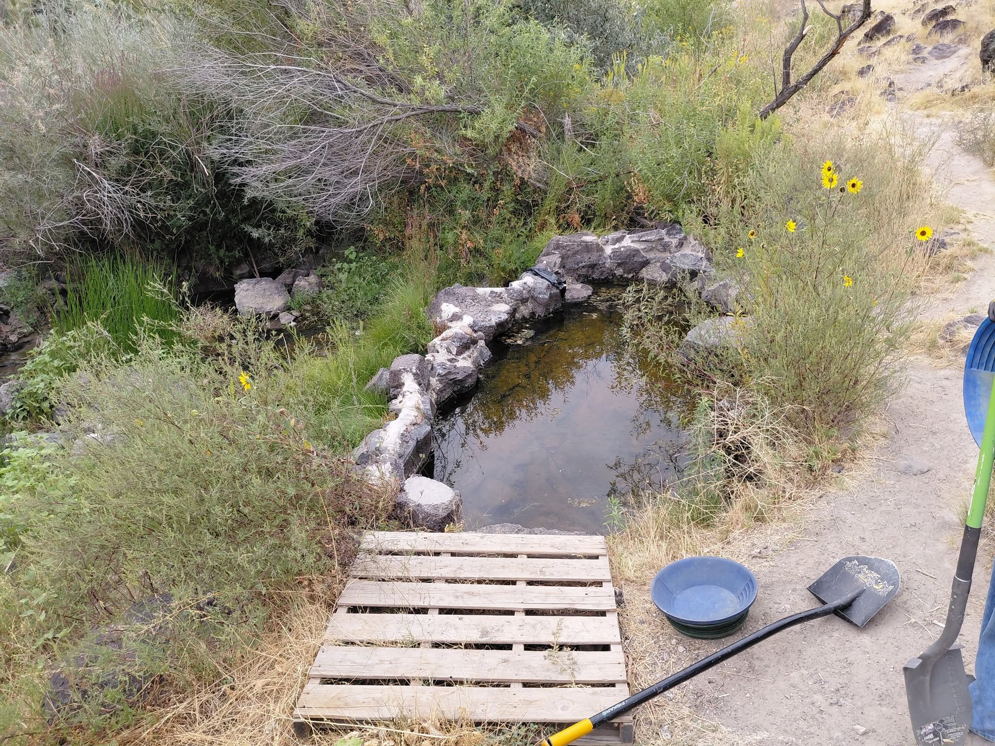
SPECIAL NOTES: This claim has a hot spring pool on the claim. We are allowed to use the hotspring, but we do not have exclusive rights to it. In the hot spring pool there is a drain pipe, if you wish to use the pool you should plug the pipe and let it fill up. When you are done unplug the pipe. This keeps the water fresh and the algae down. Please do not mine with 25′ of the hot spring, or in any other way that prevents others from enjoying it.
(Click on photos to expand)